August 8, 2015 - Flying the Susquehanna River Part 2
|
|
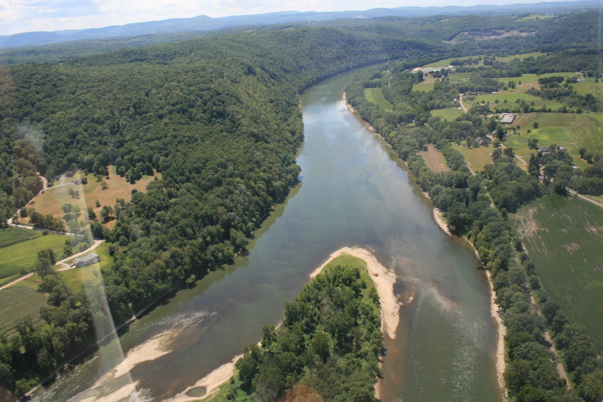
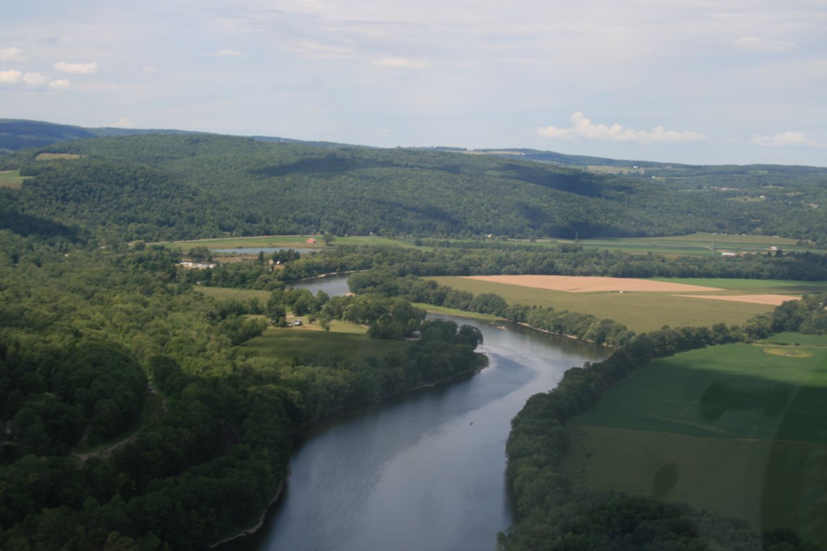
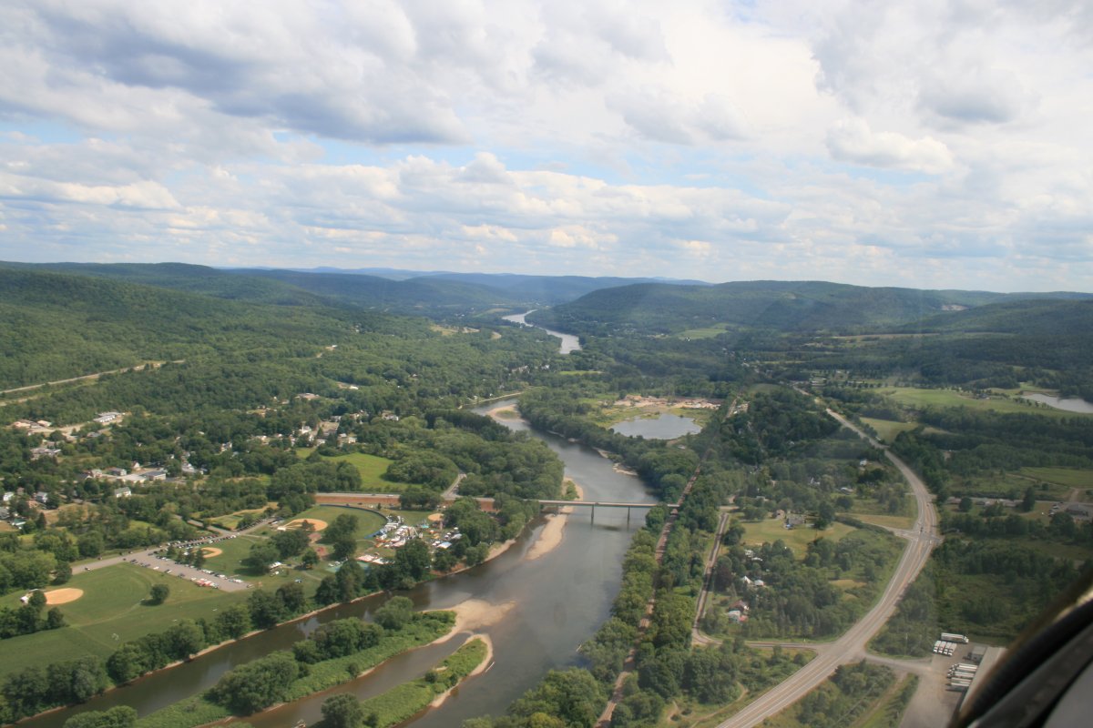
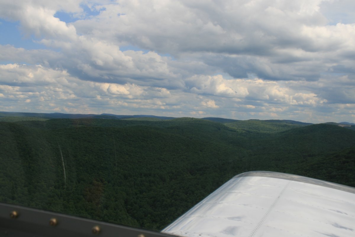
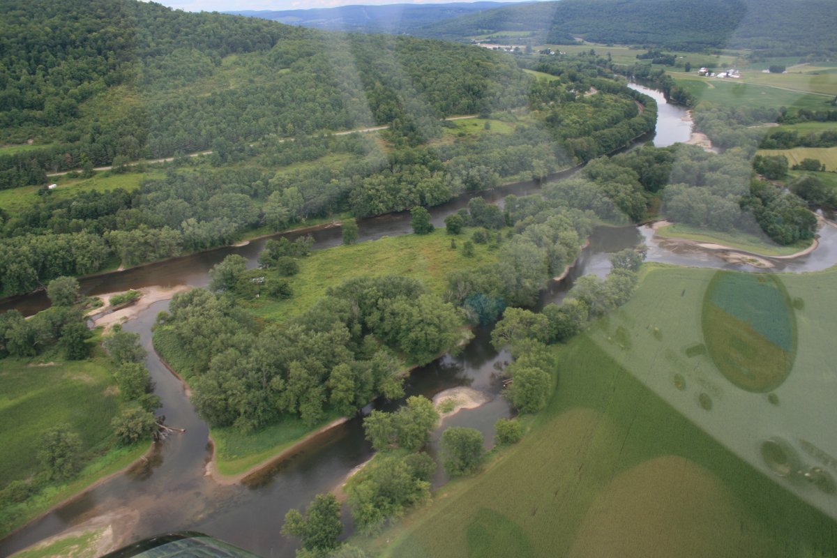
Leaving Wilkes-Barre, the river is now taking me northwest.
|
 |
|
|
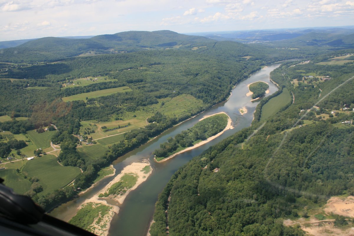
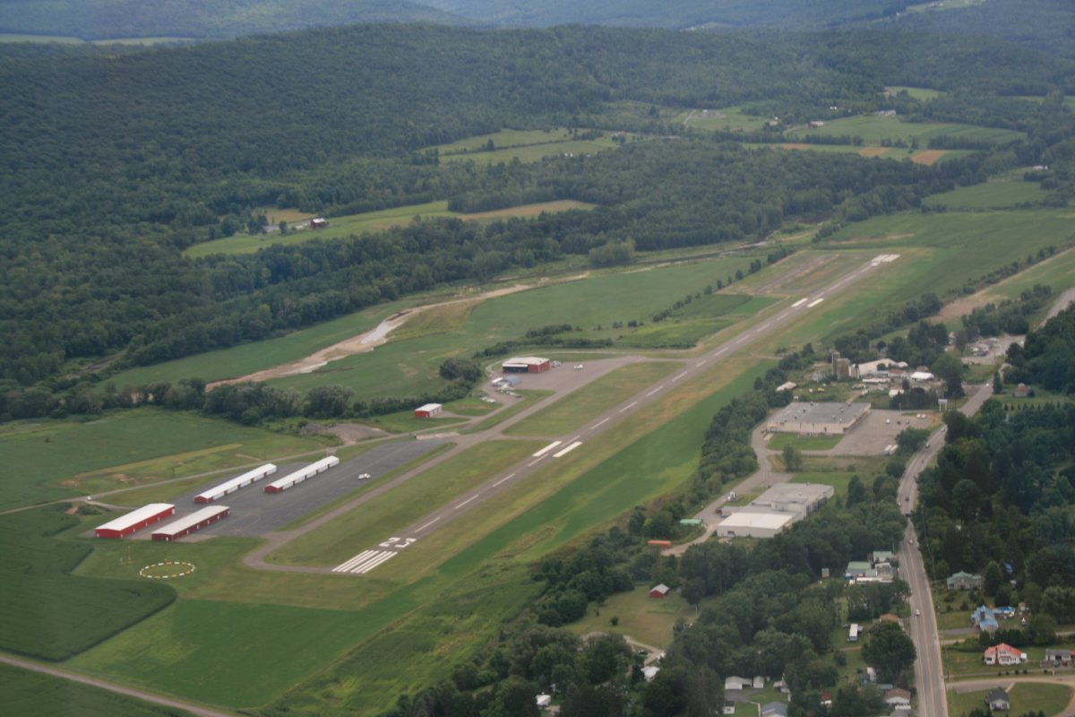
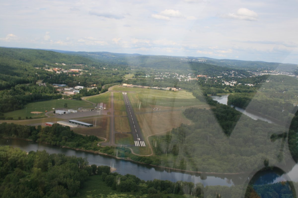
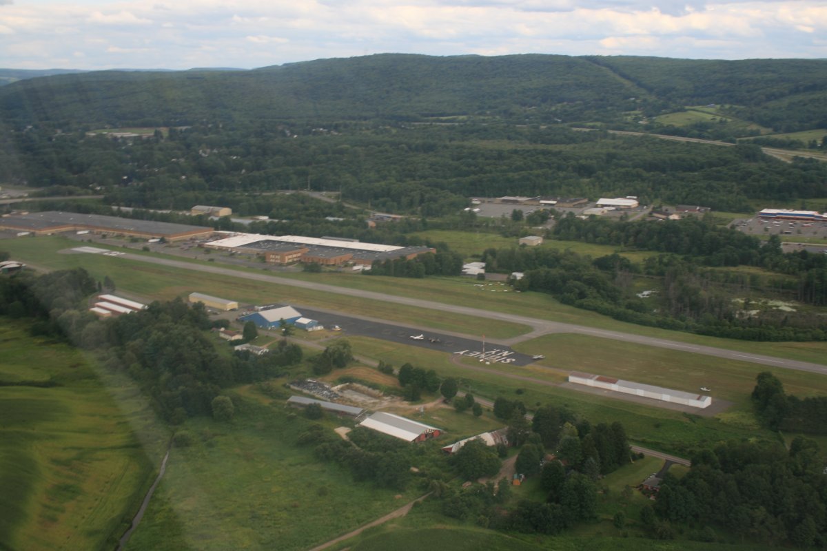
| Skyhaven Airport (76N), across the river from Tunkhannock, PA. Have you ever met anyone from Tunkhannock? I haven't. |
 |
|
|
|
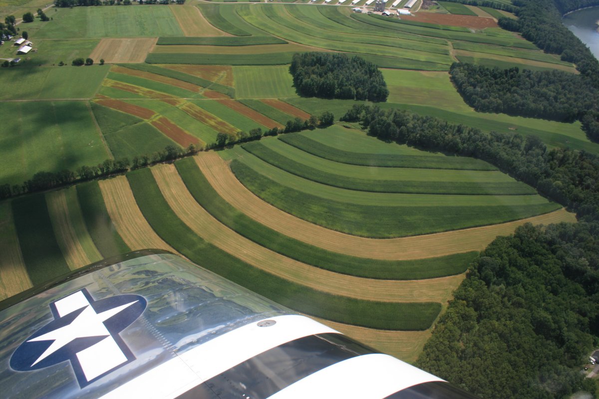
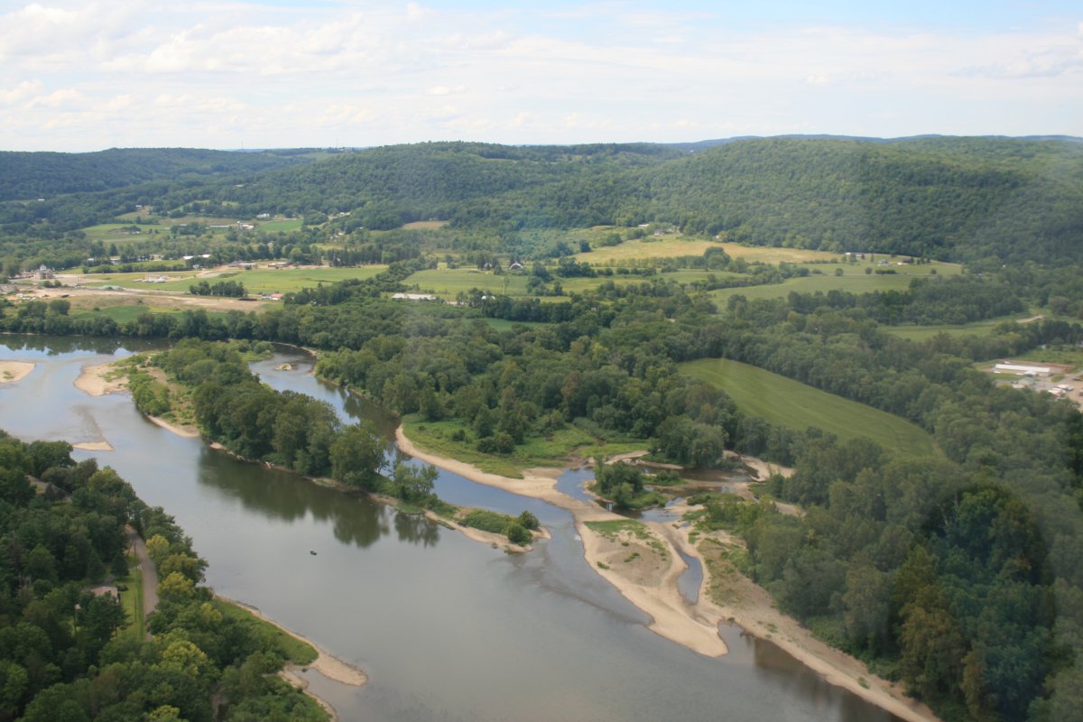
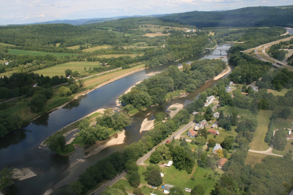
Farmland art.
|
 |
|
|
|
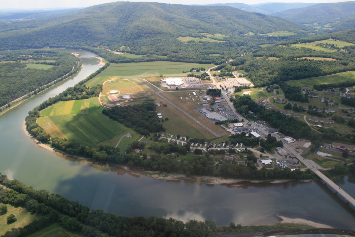
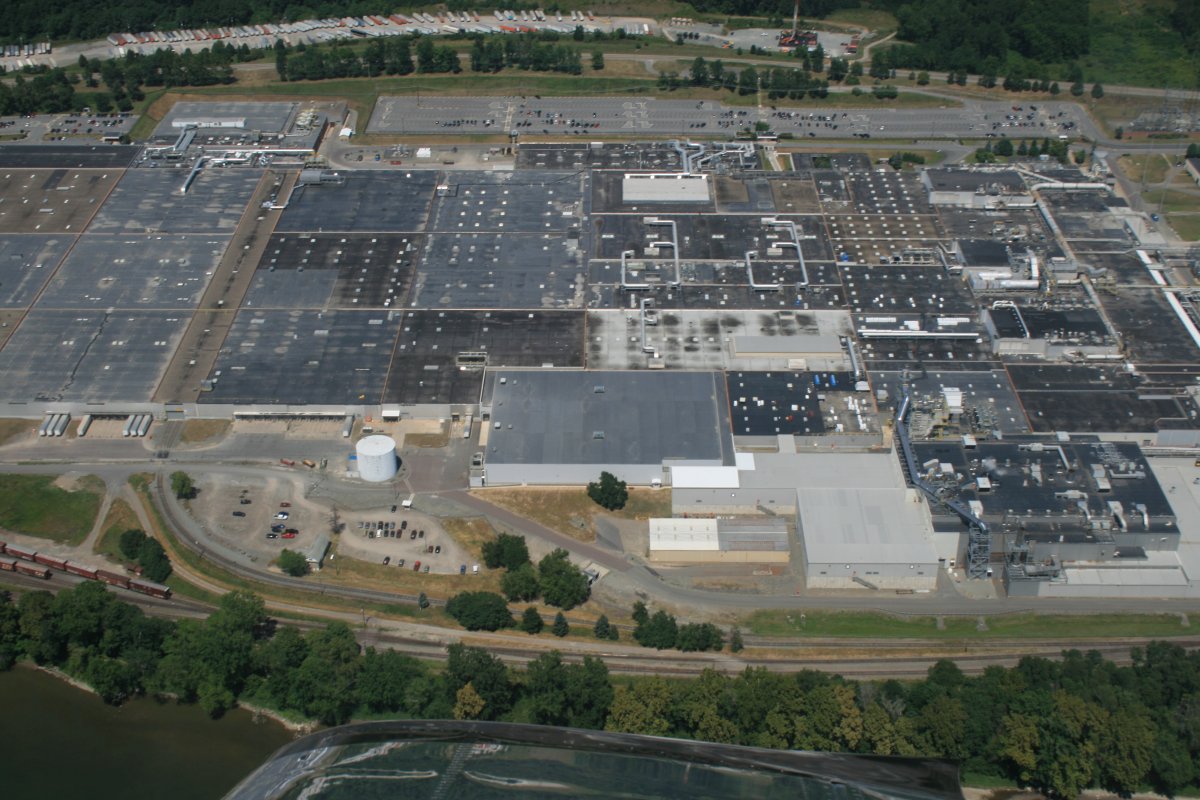
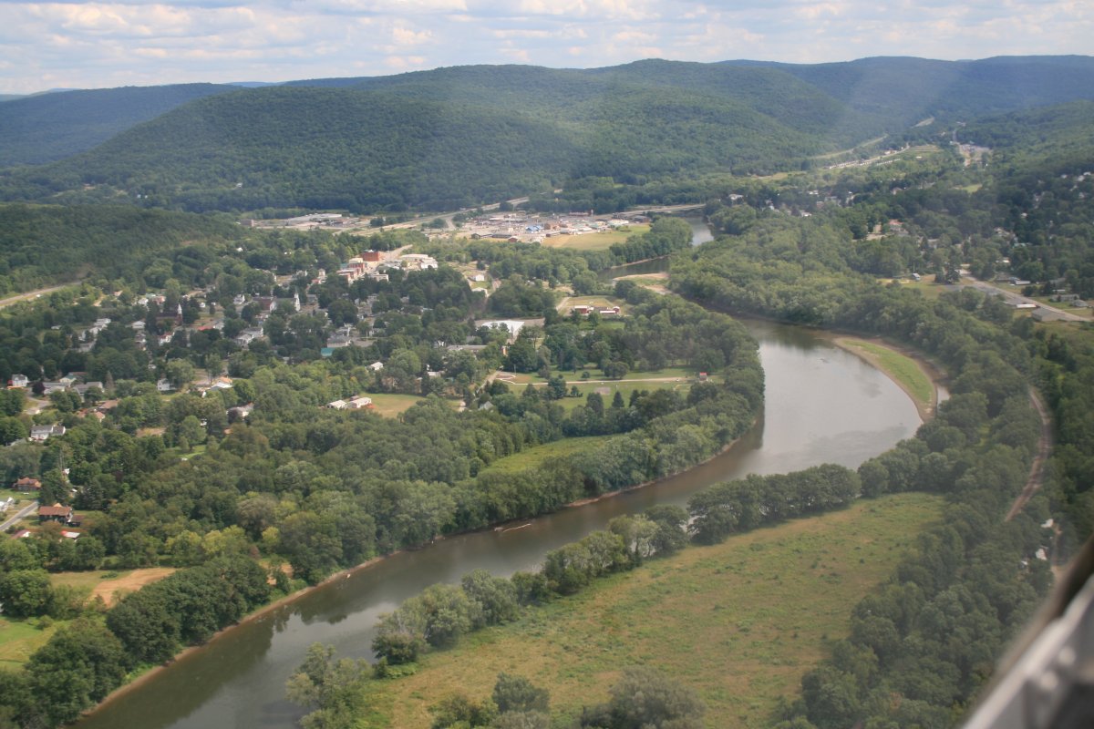
The river really started winding after Tunkhannock, and then I came to the largest building in terms of area I have ever seen. And I've seen the Boeing plant in Everett. It turns out this gigantic building
is Proctor & Gamble's Mehoopany manufacturing plant, warehouse and distribution center. It sits in the bend of the river and is really located in an undeveloped area; i.e.,the sticks.
|
 |
|
|
| Continuing on. |
 |
|
|
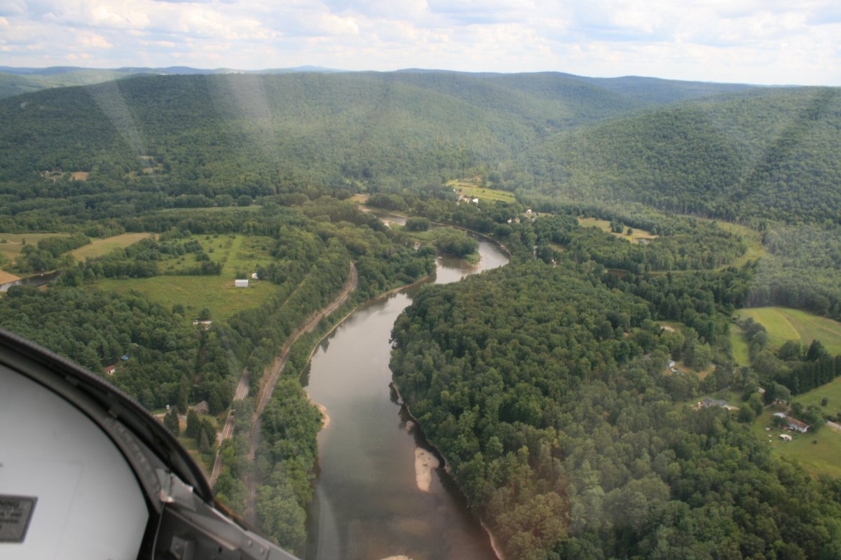
| Pretty country. |
 |
|
|
|
I was feeling tired so when I saw this airport ahead of me, I decided to take a break and land. The airport is Bradford County (N27).
|
 |
|
|
| On final at Bradford County Airport. It turned out to be a very good stop. The avgas prices were on the low end of the spectrum and they had a nice FBO area to relax in. |
 |
|
|
|
I was at Bradford County less than an hour, and then I was on my way, refreshed, heading due north.
|
 |
|
|
| |
 |
|
|
| Approaching Endicott and Binghamton, I encounter Tri-Cities Airport (KCZG). |
 |
|
|
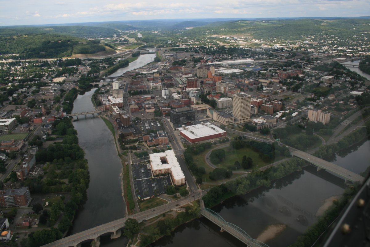
| Binghamton, New York. |
 |
|
|
|
Now I'm heading due east.
|
 |
|
|
| Yep, I'm in New York all right. |
 |
|
|
|
Heading southeast. Notice how narrow the river has become.
|
 |
|
|
| The river makes a sharp turn from southeast to north up ahead. |
 |
|
|
| Looking east into the Catskill Mountains. |
 |
|
|
| |
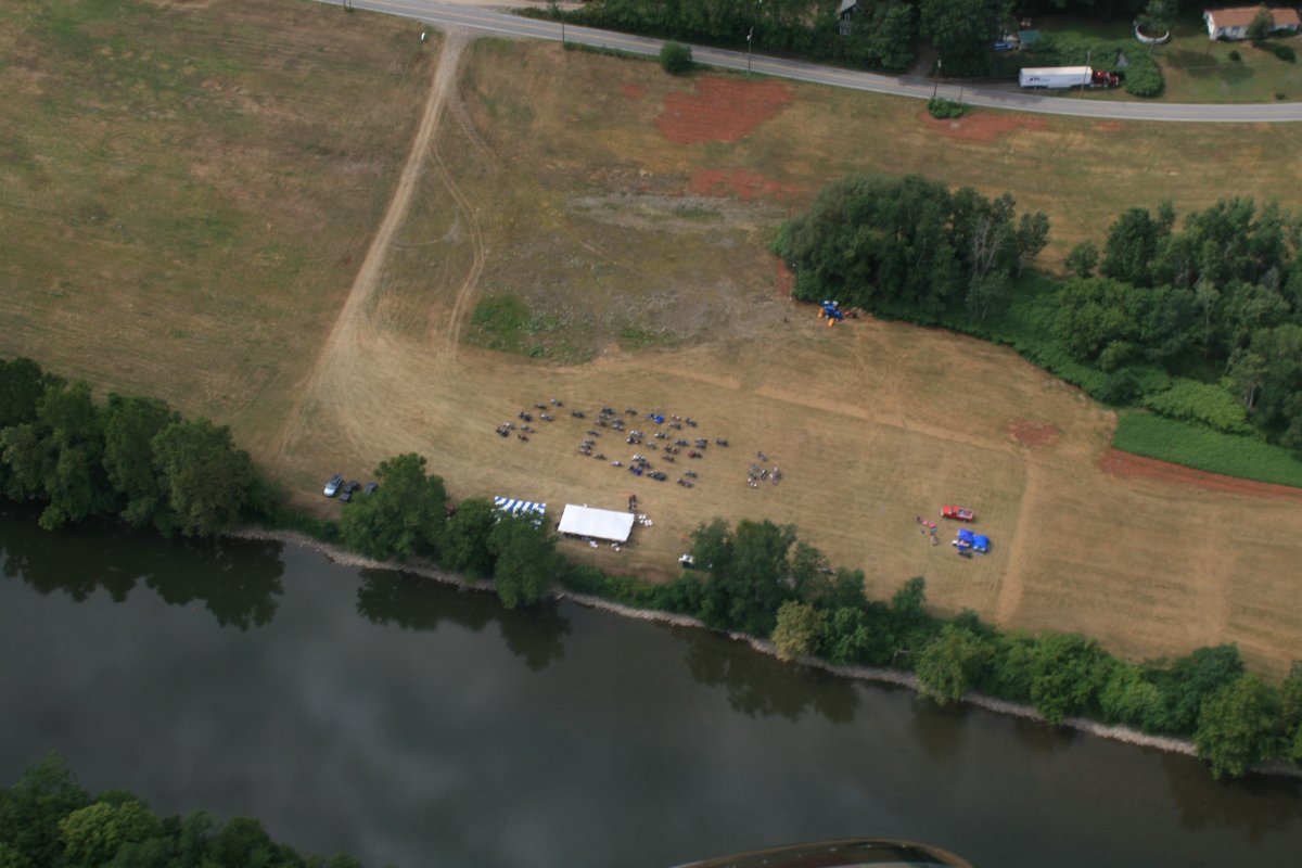
| A bunch of motorcycles having a get-together by the river. |
 |
|
|
|
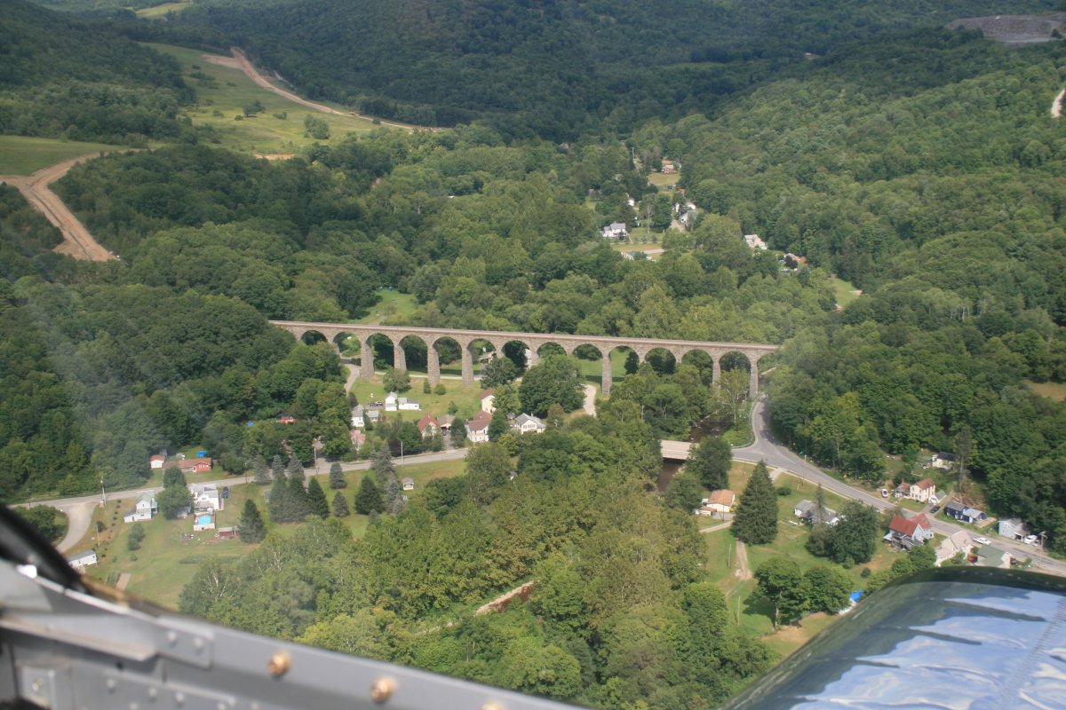
Hey, I didn't know the Romans conquered this part of the country and built aquiducts!
|
 |
|
|
|
House overlooking the river.
|
 |
|
|
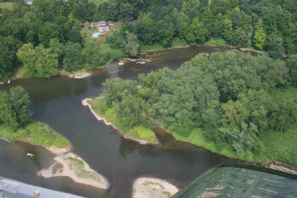
| The river breaks into parts here. |
 |
|
|
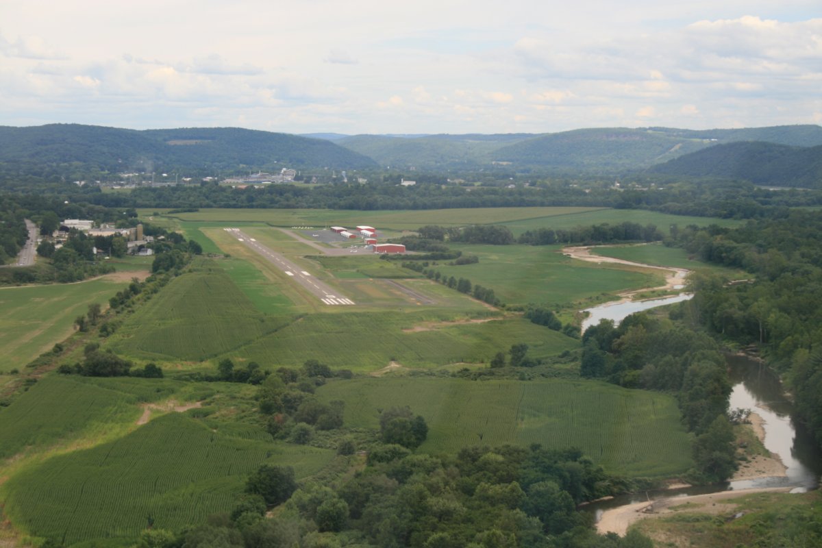
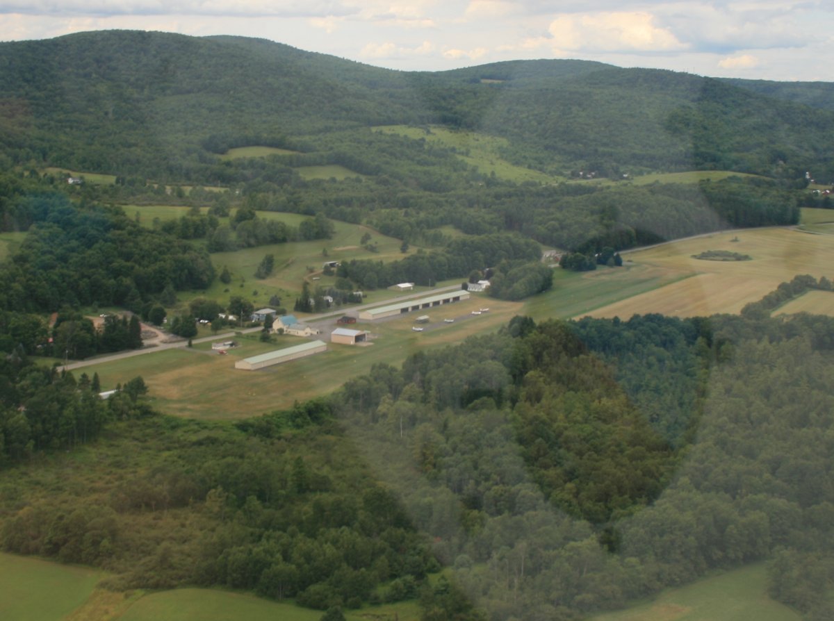
| Just off the river, Sidney Municipal Airport (N23) is another airport that gets good AirNav marks. |
 |
|
|
| The river has gotten so small, I'm starting to have a hard time following it. Here, the highway is wider than the river. |
 |
|
|
|
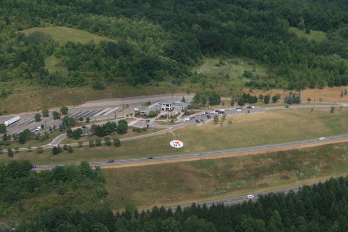
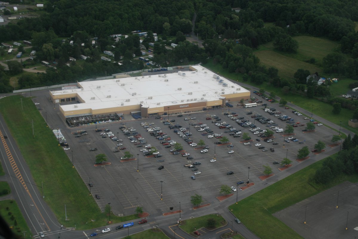
Even small towns have big WalMarts.
|
 |
|
|
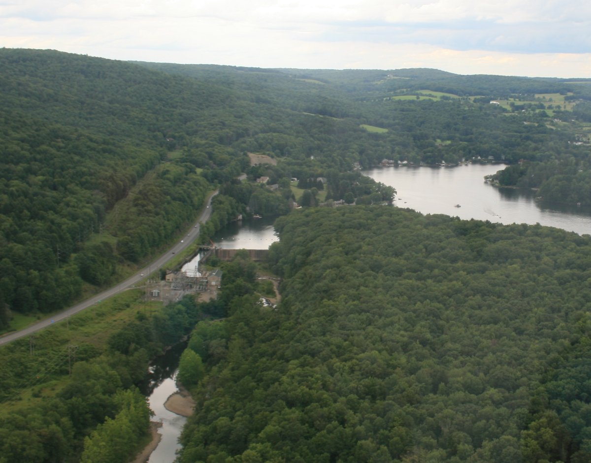
| I was surprised to see a dam this far up. But yet there it is, forming Goodyear Lake. |
 |
|
|
|
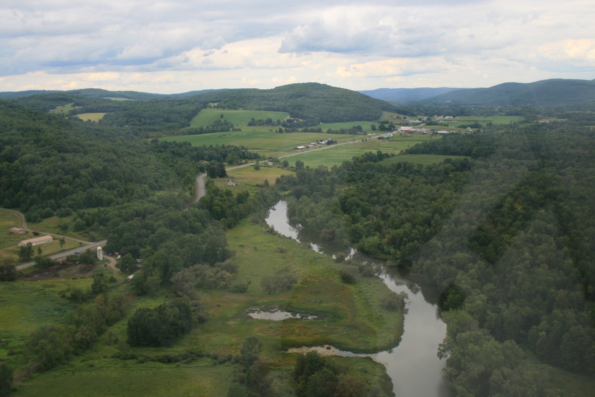
Soon the river is back to normal.
|
 |
|
|
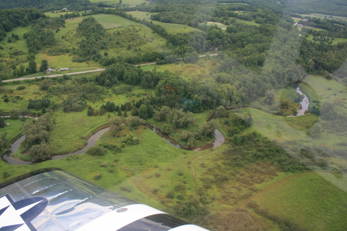
| Now it is hardly more than a creek. |
 |
|
|
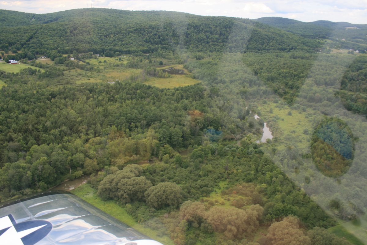
| The river branches near Milford. The northeast branch goes right by Cooperstown Airport (K23) which as you can see is a grass strip. Cooperstown itself is on the other side of that ridge. You can get a taxi from here to the town for $20 bucks or so one-way. Why would you want to do that? Because Cooperstown is the home of the Major League Baseball Hall of Fame. |
 |
|
|
| |
| Here is where I gave up on the river, a little north of Cooperstown airport. It's pretty much done. |
 |
|
|
|
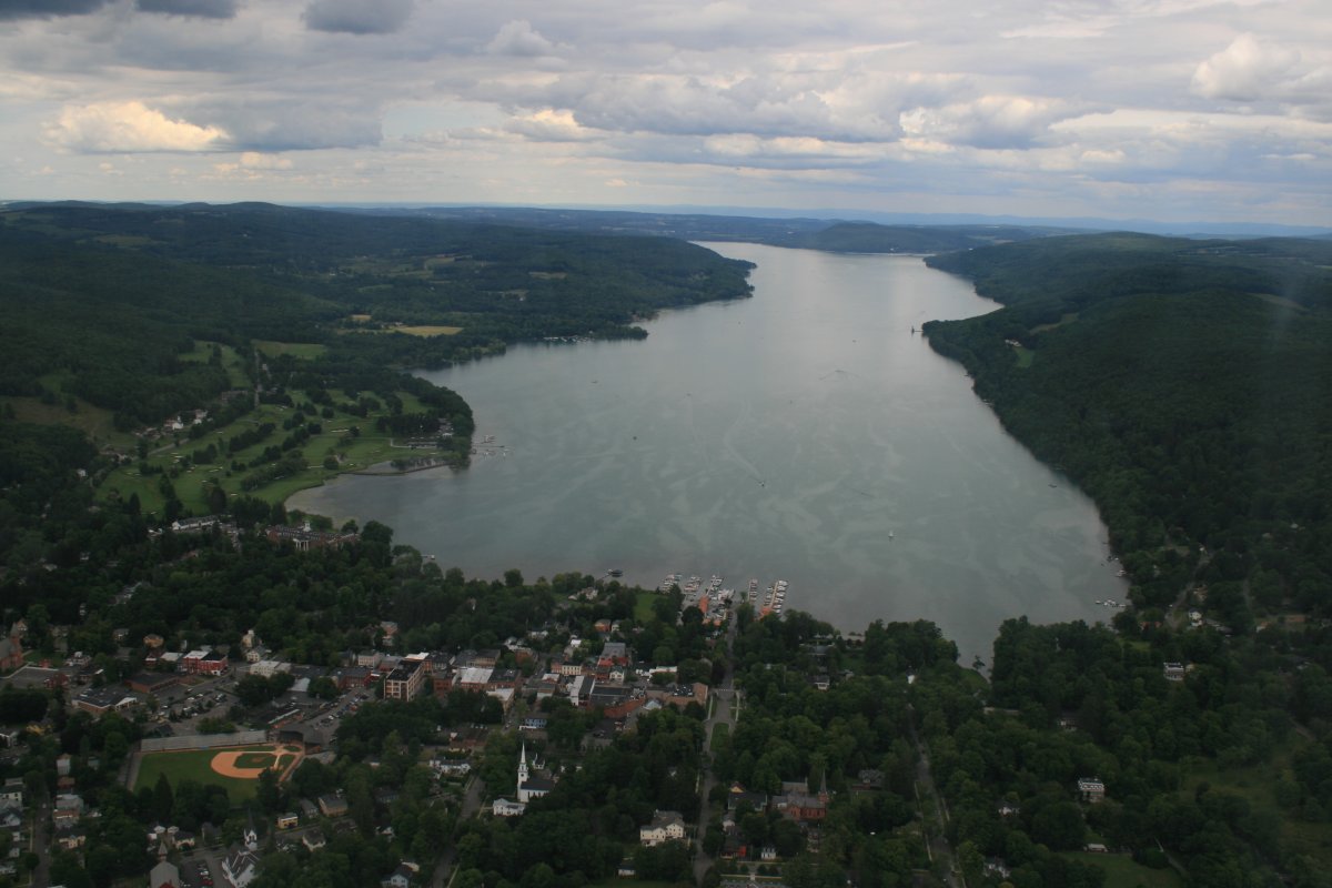
I bopped west over the ridge to Cooperstown which is at the bottom of Otsego Lake.
|
 |
|
|
| |
|
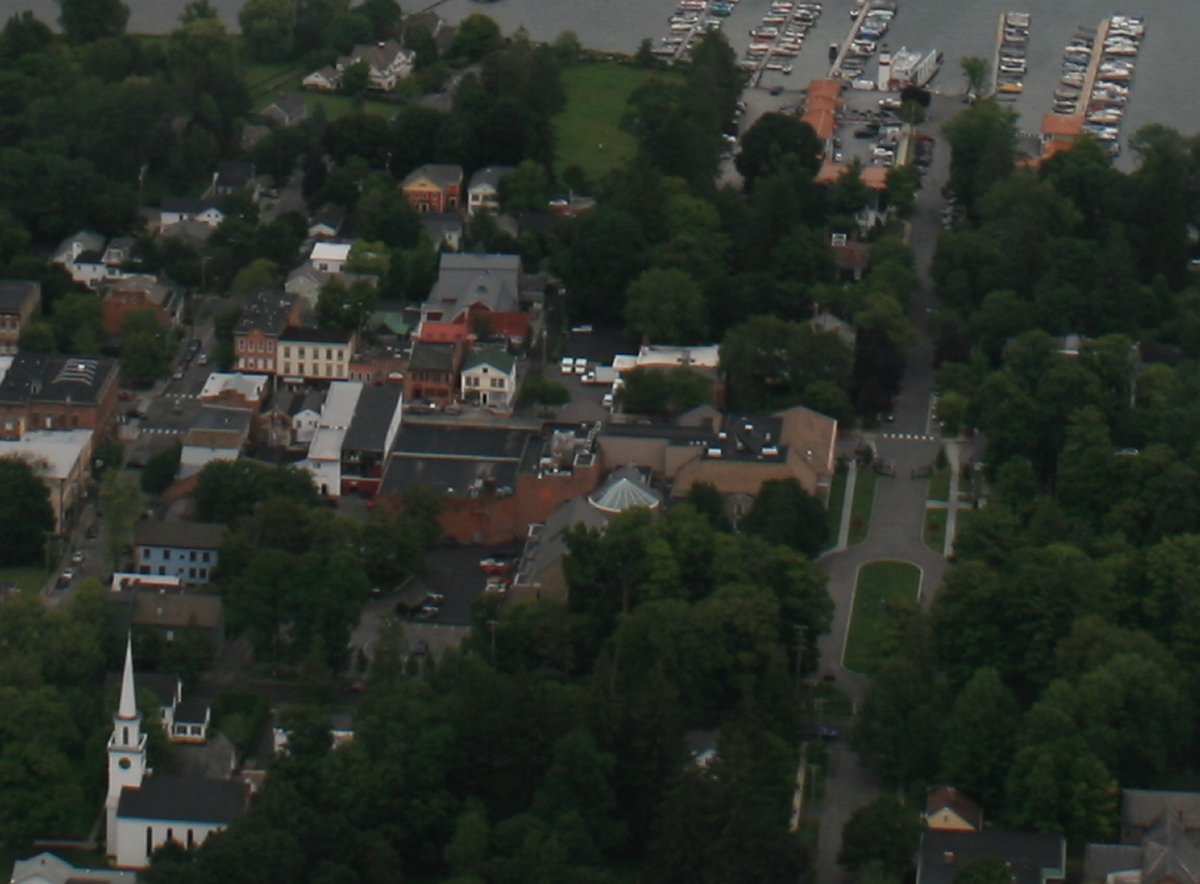
The Baseball Hall of Fame is that building complex in the middle of the picture. I really should visit it someday.
|
 |
|
|
|
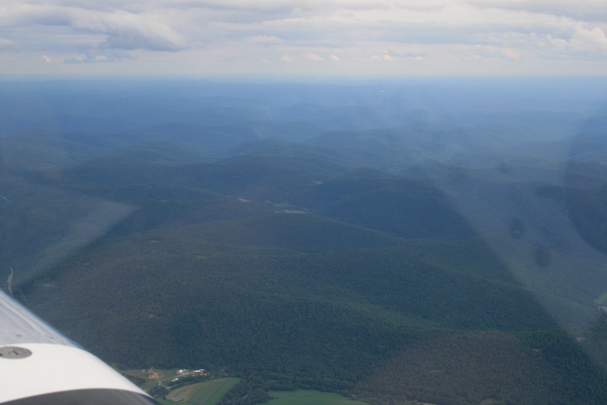
Now it was time to head for home. I climbed to 8,500 feet and headed south.
|
 |
|
|
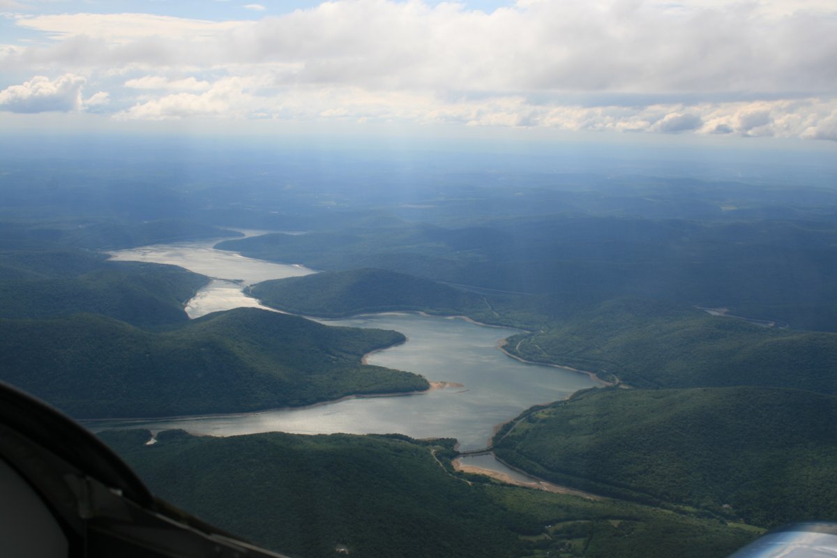
| Pepacton Reservoir in the Catskill Mountains. I picked up a tailwind here up high which was nice, but as you can see it is hazy. Flying up high is boring. |
 |
|
|
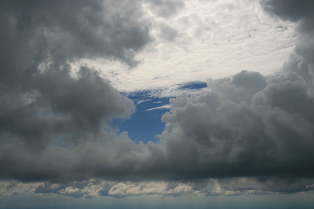
| You know I'm bored when I'm taking pictures of clouds. |
 |
|
|
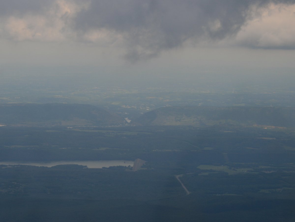
| Through the haze you can just make out the Delaware Water Gap where the Delaware River cuts through a large ridge. At one time, this was one of the most popular vacation destinations in the country. |
 |
|
|
|
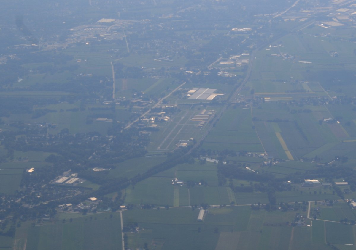
Looking down at where it all began this morning -- Smoketown Airport. The fly-in is long since over. Seems like a million years ago.
|
 |
|
|
|
I descended as I approached Essex Skypark from the north. Things are much clearer now. I got a transition through Martin State Airport's Class D airspace. Since I don't pass through this area much, I took some pictures of the waterfront just north of Martin State.
|
 |
|
|
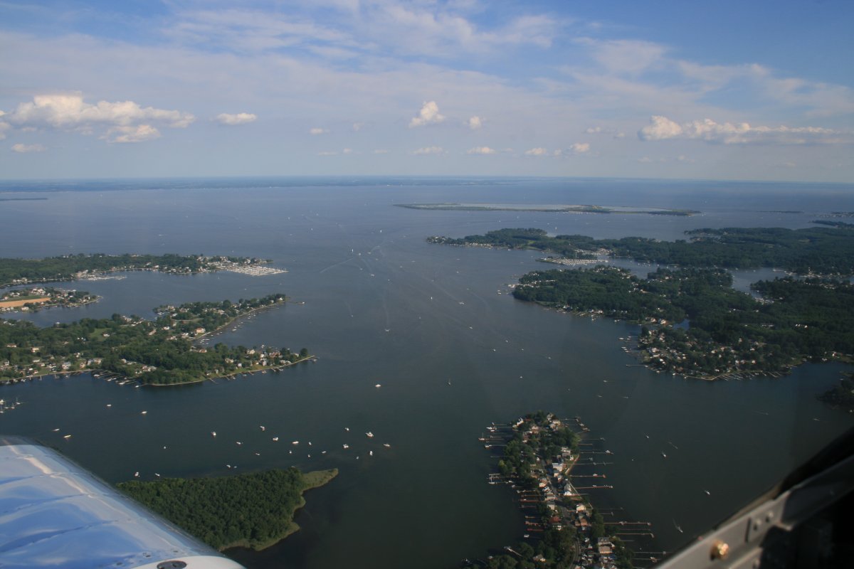
| I hadn't realized there is so much waterfront property here. |
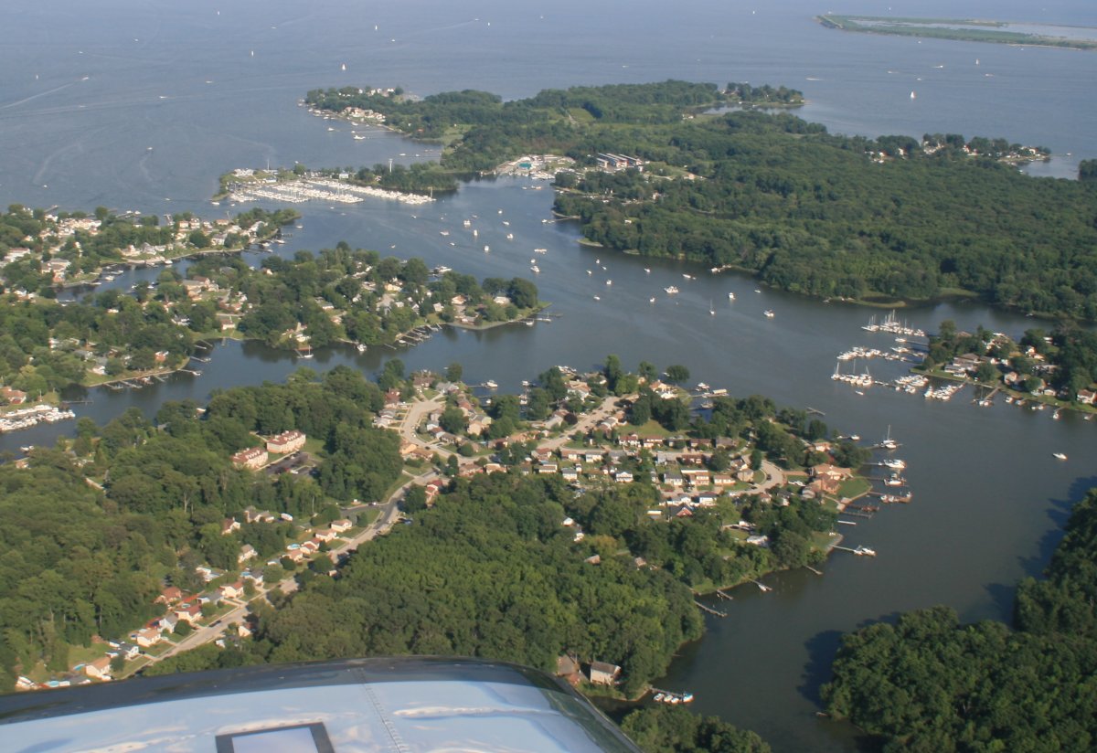 |
|
|
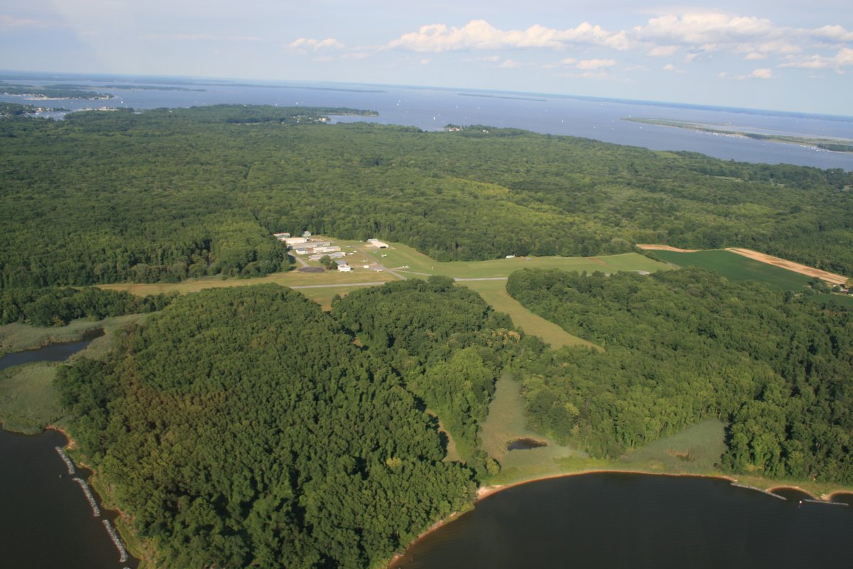
| And there is little Essex Skypark, by itself surrounded by forest. Flew a lot today. Good times. |
 |
|
|
| |
| |
|
|
|
|
|
|